
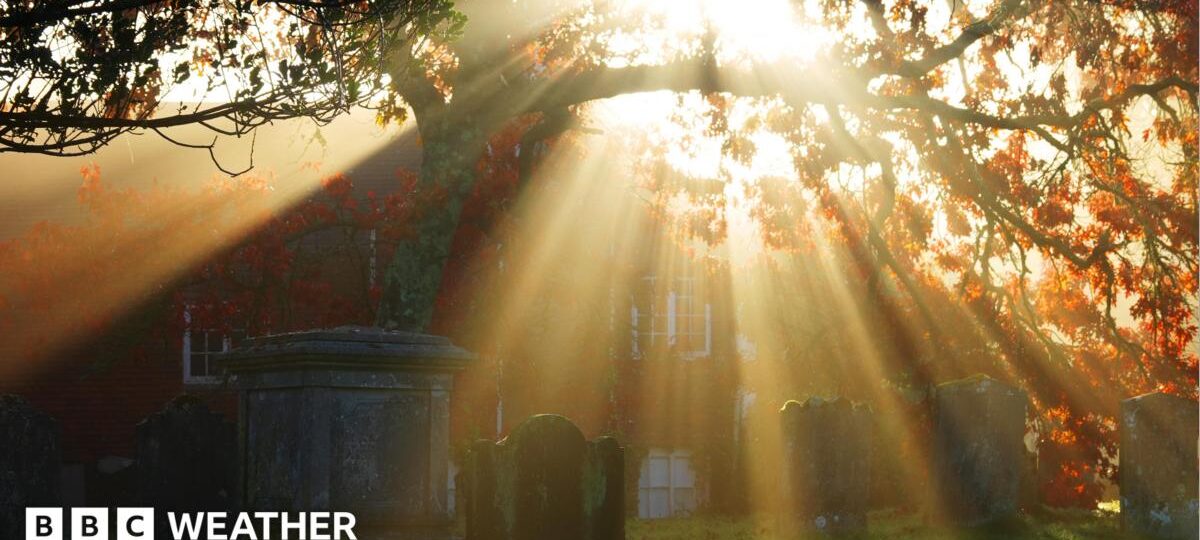
 Image source, BBC Weather Watchers / Peter and Leah
The UK could see as many as 10 consecutive days without rain after an unsettled end to October that featured back-to-back storms.
It comes after the Environment Agency said England experienced its wettest week in two years thanks to Storms Austen and Boelo.
Following this recent unsettled weather, the return of high pressure will bring a prolonged spell of largely dry and calm conditions, with very little rain in sight.
Mist and fog will remain a persistent feature, with some slow-clearing dense patches expected during the mornings.

A blocking area of high pressure will dominate the weather across the UK as November starts
Conditions to remain calm as high pressure dominates
With pressure remaining relatively high over the coming days, most areas can expect a prolonged spell of settled weather, with plenty of light winds.
Further foggy starts are expected with some patches likely to become dense and slow to clear, potentially causing reduced visibility and travel disruption.
Once the fog lifts, brighter spells should develop, although some areas of low cloud may linger.
If you are headed out for Halloween on Saturday evening it should remain largely dry but a few spells of rain could put a dampener on things in the Western Isles of Scotland.
For most of the UK, skies will be clear as darkness falls, with light winds.
It could feel pretty chilly as temperatures are expected to gradually edge lower over the coming days, bringing a slightly cooler feel, particularly during the nights and early mornings.
With high pressure showing little sign of moving away, this largely settled and dry weather pattern looks set to continue into early November, with little prospect of any significant rainfall.
More high winds hit parts of UK as Storm Boelo clean-up continues
Storm Austen brings power cuts and travel disruption as more wind and rain forecast
Are more storms likely this autumn?
The current settled spell marks quite a contrast to the turbulent conditions experienced just a week ago, when the UK was hit by its first named storms of the season, Austen and Bóelo.
Both systems delivered much-needed rainfall, with Bóelo particularly notable for the sheer volume of rain it brought.
According to the Environment Agency, rainfall associated with both named storms, along with another area of low pressure on Monday, contributed to the wettest week across the UK for two years.
Whilst the current area of high pressure will stay over or close to the UK for at least 10 days it looks like another change could begin around mid-November.
Signs are that high pressure could loosen its hold, allowing Atlantic low-pressure systems to approach the country.
This change would mean wetter and windier weather again for the UK, with most areas probably seeing average or even above average rainfall.
Keep up with the latest by checking the outlook for the next month.
As the El Niño weather event in the Pacific Ocean continues to intensify it has been linked to wetter and stormier weather in the UK during late autumn and early winter.
More on El Niño
Stormy autumn, cold winter – how might El Niño affect the UK weather?
El Niño likely to cause wetter and warmer-than-normal autumn
Five ways El Niño is affecting the weather around the world
Discover more from NAIRAVOICE.COM.NG
Subscribe to get the latest posts sent to your email.